Download Agisoft Metashape Professional 2 for Windows 11, 10, 8, 7 - A professional photogrammetry software used to generate high-quality 3D models and maps from digital photographs
Agisoft Metashape Professional (formerly known as Agisoft PhotoScan) is a professional photogrammetry software used to generate high-quality 3D models and maps from digital photographs. It is widely used in various industries, including architecture, archaeology, geology, filmmaking, and more.
Wisely implemented digital photogrammetry technique enforced with computer vision methods results in smart automated processing system that, on the one hand, can be managed by a new-comer in the field of photogrammetry, yet, on the other hand, has a lot to offer to a specialist who can adjust the workflow to numerous specific tasks and different types of data. Throughout various case studies Metashape proves to produce quality and accurate results.
Features of Agisoft Metashape Professional
- Photogrammetric Workflow: Agisoft Metashape Professional utilizes a photogrammetric approach to reconstruct 3D models from 2D images. It analyzes the images and extracts features to calculate camera positions, orientations, and sparse point clouds.
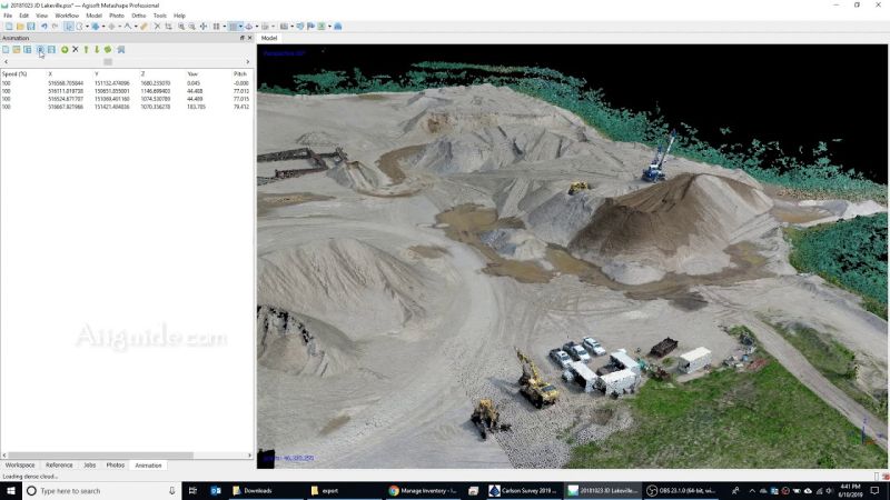
- Dense Point Cloud Generation: The software generates dense point clouds by matching the common features across multiple images. It employs various algorithms to create highly detailed and accurate 3D point clouds from the input images.
- Mesh Generation: Metashape Professional can create polygonal mesh models from the dense point clouds. These meshes are composed of interconnected triangles, forming a 3D representation of the object or scene.
- Texture Mapping: The software can project the original images onto the generated mesh models, creating realistic textures for the 3D models. This process enhances the visual quality and realism of the reconstructed objects.
- Digital Elevation Models (DEMs) and Orthomosaics: Agisoft Metashape Professional can generate digital elevation models (DEMs) and orthomosaics. DEMs provide information about the surface elevation, while orthomosaics are georeferenced and orthorectified aerial or satellite images that create a seamless and accurate representation of the terrain.
- 4D Modeling and Animation: With the Professional version of Metashape, you can create 4D models and animations. By utilizing time-lapse photography or multiple image captures over a period, you can generate dynamic models that showcase changes and movements over time.
- Multispectral Imagery Support: The software supports processing multispectral imagery, allowing you to work with images captured by specialized sensors such as thermal cameras, near-infrared (NIR) cameras, or multispectral cameras.
- Georeferencing and Coordinate System Support: Agisoft Metashape Professional supports georeferencing, allowing you to align your 3D models to real-world coordinates and geographic coordinate systems. This feature enables integration with GIS (Geographic Information System) software and accurate spatial analysis.
- Python Scripting and Automation: The software provides a Python scripting interface, allowing users to automate repetitive tasks and customize the workflow according to their specific requirements. This feature provides flexibility and extends the capabilities of the software.
- Export and Integration: Agisoft Metashape Professional supports various export formats, including 3D models, point clouds, orthomosaics, DEMs, and texture maps. It integrates with other software applications and can be used in conjunction with GIS software, 3D modeling software, and CAD (Computer-Aided Design) applications.